The material and landscape adventure> The power of water
Step 1

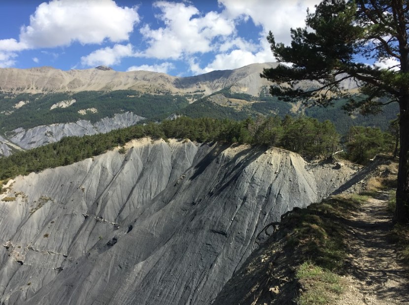
alt_route The crest of Cognetons
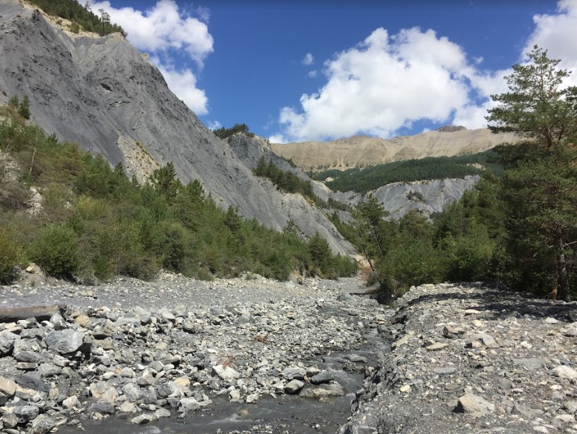
This hike passes the Riou Bourdoux, famous for its overflows which are now better controlled thanks to the incessant work of the National Forestry Office and the RTM (Restoration of mountain land).

Demontzey, engineer of Water and Forests said in 1894 of Riou Bourdoux that “famous throughout the country for its devastation, the Riou Bourdoux is the most terrible and most considerable torrent of all those in action in the Alps. To find out more about Demontzey and reforestation, take a look at the “Forests and animals” route.
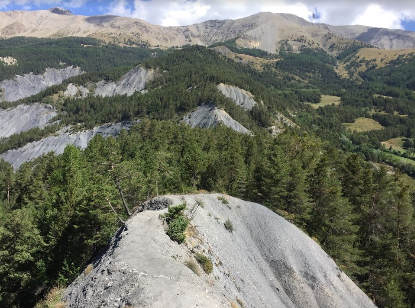
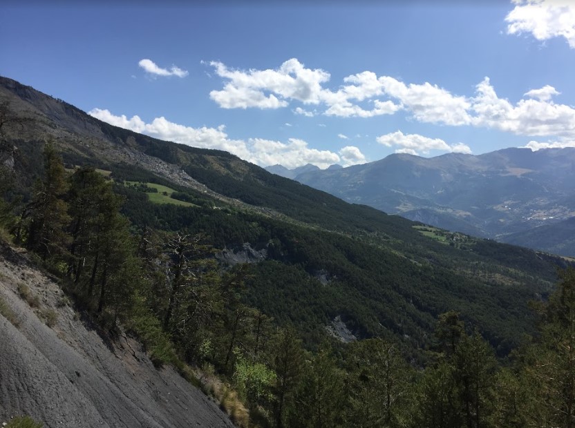
The dangerousness of this torrent is competed with by the slide of the Valletta from which you have a beautiful panorama from the crest. Also observe the robines, a compact mass of marly rock, which, fragile to erosion, contributed to the landslide. To find out more, take a look at the "Slide of Valletta" fact sheet.
The Cognetons ridge hike
Level: Easy
Duration: 2h30
Type: Buckle
Difference in height: 380 m
Start / Finish: In the curve of the road, in front of the ONF information panels
Vigilance: Dizzying passages and fording the torrent not to do after a thunderstorm
Learn more
Valletta slide
This landslide began in March 1982 with a deep rupture of the rocks, at the level of the source line. Just under the crest of Soleil-Bœuf, north of Barcelonnette and Saint-Pons, the black soils, saturated with water and softened, have finally given way.


On the slope downstream of the rupture, the soils composed of limestone enriched with clay, once deposited during the passage of glaciers, have become destabilized, causing a large-scale landslide with falling boulders, mudslides and heaving of wooded parts.
Various protection works have since been carried out: drainage of surface water, diversion of sources, material trap, re-greening. If today, the bottom of the landslide does not seem to worry too much, new cracks indicate an upcoming enlargement upwards.